
Advancing Marine Science Through Synergistic Data Acquisition
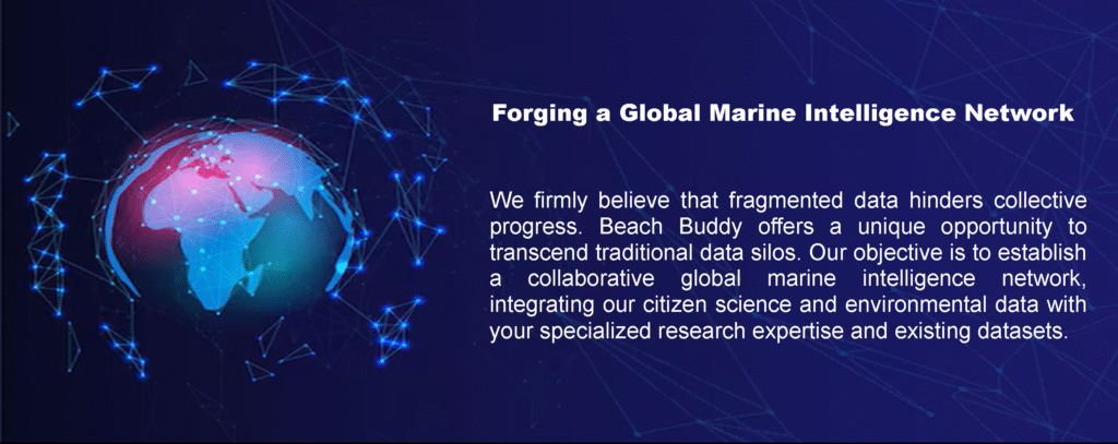
Beach Buddy has evolved beyond a public safety application into a robust platform for environmental data acquisition, generating high-resolution datasets critical for marine ecological and human-wildlife interaction studies. We are actively seeking collaborative partnerships with leading research institutions to leverage this unique data stream, fostering a global network dedicated to unprecedented insights into coastal ecosystems and informing evidence-based conservation and risk mitigation strategies.
Methodological Framework: Unlocking Granular Coastal Data
Our methodology integrates real-time, georeferenced observations with comprehensive environmental parameters, creating a dynamic longitudinal dataset. Beach Buddy’s core data streams include:
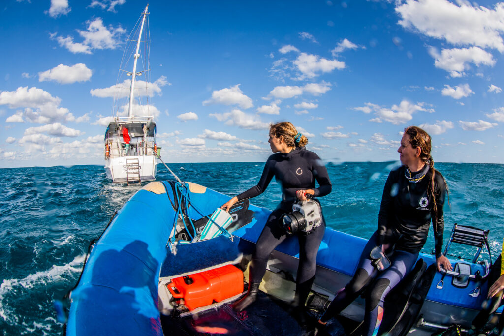
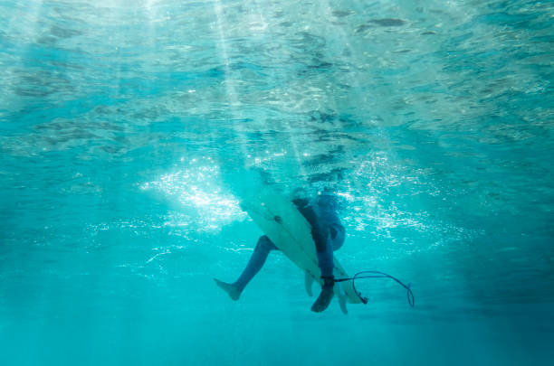
Citizen Scientists
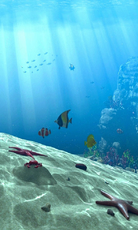
Citizen-Reported Marine Hazard Incidents: Users contribute validated, geocoded reports on a diverse range of marine phenomena, including:
- Elasmobranch Presence: Shark sightings (species-specific when available), and confirmed interaction events (e.g., “Shark Attack”).
- Invertebrate Swarms: Documented occurrences of jellyfish and stingray aggregations.
- Geophysical Hazards: Rip current observations and other dynamic coastal conditions.
- Mega-fauna Incidents: Whale carcass reports and other significant marine animal events. Each report is time-stamped, includes descriptive metadata (e.g., species observed, number of individuals, behavioral context), and frequently incorporates photographic or videographic evidence, enabling post-hoc validation and detailed analysis.
Data Collection
Multivariate Environmental Overlay: Concurrent with hazard reporting, Beach Buddy integrates API-derived real-time and historical environmental data for each incident’s geocoordinates, including:
- Atmospheric Conditions: Temperature, wind speed/direction, precipitation, cloud cover.
- Hydrodynamic Metrics: Tidal states (high/low, rising/falling), wave height, swell period, ocean currents.
- Astronomical Data: Lunar phase, solar insolation (day/night cycles).
- Biogeochemical Indicators: (Potential for future integration) Sea surface temperature anomalies, chlorophyll-a concentrations. This multivariate approach facilitates correlation analyses, enabling the identification of abiotic and biotic factors influencing marine organism distribution, aggregation, and interaction frequency.
Integrated Elasmobranch Telemetry
Where publicly accessible, we integrate movement data from acoustically or satellite-tagged elasmobranchs. This spatially explicit telemetry, fused with our environmental and citizen-reported data, provides a powerful tool for:
- Migration Pattern Analysis: Investigating spatiotemporal habitat use.
- Predictive Modeling: Developing advanced algorithms for identifying periods and locations of elevated human-elasmobranch overlap.
- Behavioral Ecology: Contextualizing reported sightings and interactions within the broader movement ecology of target species.
Analytical Potential and Collaborative Research Avenues
The Beach Buddy dataset offers unprecedented opportunities for rigorous scientific inquiry:
- Predictive Ecological Modeling: Develop and validate models for marine organism presence and hazard risk, enhancing proactive mitigation strategies.
- Human-Wildlife Coexistence Research: Quantify and analyze the drivers of human-marine life interactions, informing sociological and behavioral interventions.
- Environmental Impact Assessments: Investigate the effects of climate variability, marine heatwaves, and anthropogenic changes on coastal biodiversity and hazard dynamics.
- Citizen Science Validation: Evaluate the accuracy and utility of citizen-contributed data in ecological monitoring and disaster preparedness.
- Conservation Management: Identify critical habitats, assess the efficacy of marine protected areas, and inform species-specific conservation actions.
By pooling resources and knowledge, we can collectively:
- Enhance Data Granularity & Scope: Achieve a higher resolution understanding of marine ecosystems across diverse geographical regions.
- Accelerate Scientific Discovery: Expedite hypothesis testing, model development, and the generation of actionable scientific outcomes.
- Standardize Data Protocols: Develop harmonized methodologies for data collection and analysis, facilitating inter-institutional comparative studies.
- Inform Policy & Practice: Provide robust, data-driven evidence to governmental agencies, conservation bodies, and coastal management authorities worldwide.
We invite leading marine research organizations, governmental agencies, and academic institutions to engage with us. Let us explore the synergistic potential of our combined efforts to drive impactful research, contribute to global marine stewardship, and develop innovative solutions for human and marine life protection.